
ข่าวสาร
ข่าวประชาสัมพันธ์

September 13, 2024
GISTDA uses THEOS and coastal radar data to continuously monitor the oil spill in Map Ta Phut Bay.
GISTDA monitored the oil spill in Map Ta Phut Bay using THEOS satellite images and coastal radar. The data helped track the movement of the oil slick, allowing authorities to respond more quickly and reduce environmental impacts.
News
September 13, 2024
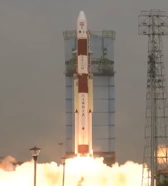
THEOS-2A Launch Mission Statement
GISTDA announced the results of the THEOS-2A satellite launch mission and the status of the satellite in orbit.
News
September 13, 2024
Wildfire at Khao Laem–Khao Chaplu, Nakhon Nayok
Satellite imagery was used to monitor the forest fire and assess the affected area to support firefighting operations.
News
September 12, 2024
GISTDA Releases THEOS Satellite Image of Agricultural Areas
THEOS captured satellite imagery on 3 February 2022 to support environmental and agricultural monitoring.
News
September 12, 2024
GISTDA Tracks Rayong Oil Spill with ICEYE Satellite
ICEYE satellite imagery monitored the offshore oil spill in Rayong on 30 January 2022, providing critical data.
News